We use cookies to ensure our site functions properly and to store limited information about your usage. You may give or withdraw consent at any time. To find out more, read our privacy policy and cookie policy.
Manage Cookies
A cookie is information stored on your computer by a website you visit. Cookies often store your settings for a website, such as your preferred language or location. This allows the site to present you with information customized to fit your needs. As per the GDPR law, companies need to get your explicit approval to collect your data. Some of these cookies are ‘strictly necessary’ to provide the basic functions of the website and can not be turned off, while others if present, have the option of being turned off. Learn more about our Privacy and Cookie policies. These can be managed also from our cookie policy page.
Strictly necessary cookies(always on):
Necessary for enabling core functionality. The website cannot function properly without these cookies. This cannot be turned off. e.g. Sign in, Language
Analytics cookies:
Analytical cookies help us to analyse user behaviour, mainly to see if the users are able to find and act on things that they are looking for. They allow us to recognise and count the number of visitors and to see how visitors move around our website when they are using it. Tools used: Google Analytics
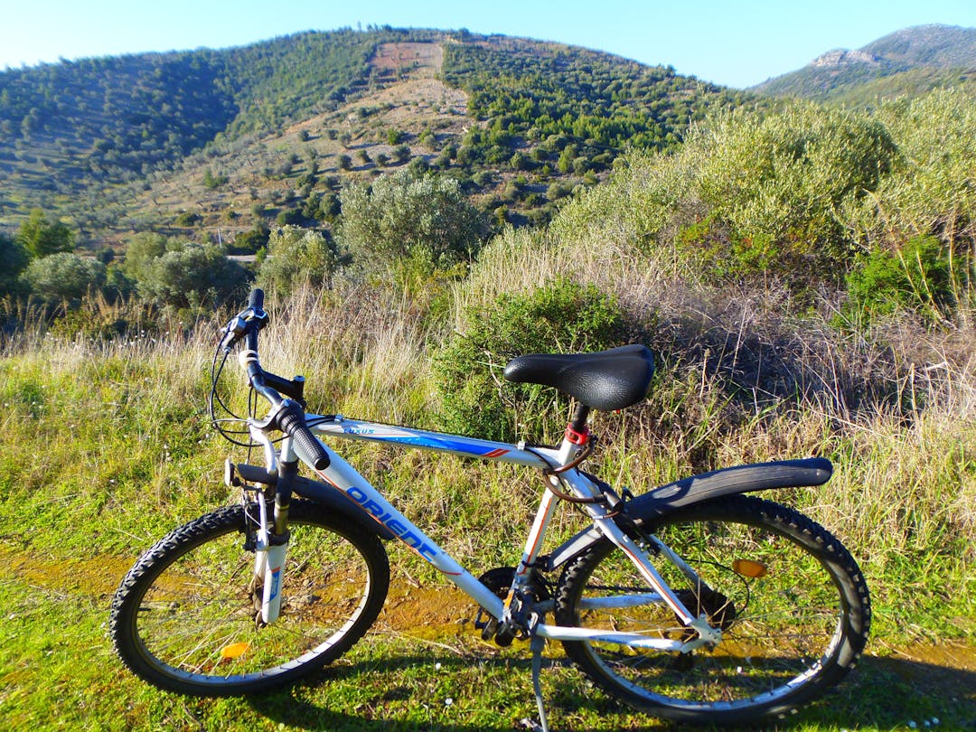
Gloucestershire Countywide Cycling Improvement Plan
Share Gloucestershire Countywide Cycling Improvement Plan on FacebookShare Gloucestershire Countywide Cycling Improvement Plan on TwitterShare Gloucestershire Countywide Cycling Improvement Plan on LinkedinEmail Gloucestershire Countywide Cycling Improvement Plan link
Engagement has concluded
Gloucestershire County Council has developed cycling and walking networks and identified some improvements in line with government guidance, which focuses on town centres. More broadly and in anticipation of an increased use of e-bikes, which enable longer journeys up steeper gradients, Gloucestershire want to develop a county wide network of cycling corridors that link the county’s more rural towns and villages.
This consultation shows a map of where people want to go across the county, based on travel demand and the potential for more cycling. The lines represent suggested corridors that have been identified through initial analysis.
Let us know what you think of the corridors and desire lines and whether you think there are any that we have missed.
Please note that these are corridors suggested for the purpose of consultation only. Whilst we are identifying cycle routes we’d like to see developed, there is no guarantee at this stage of funding or inclusion in our plans
***Please note that if you have difficulty reading maps, then please select the'survey' tab below, where you will be able to see the full list of corridors and give feedback on them, if you would like to comment directly on the maps, please select the 'maps' tab below.